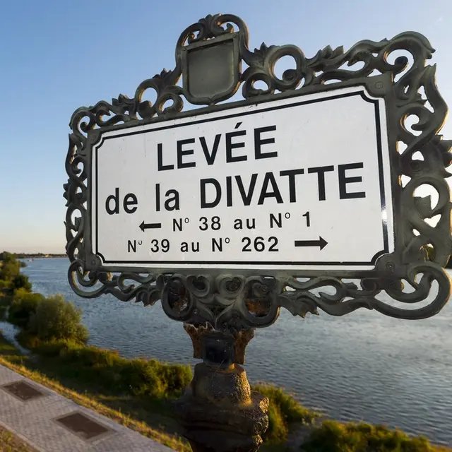
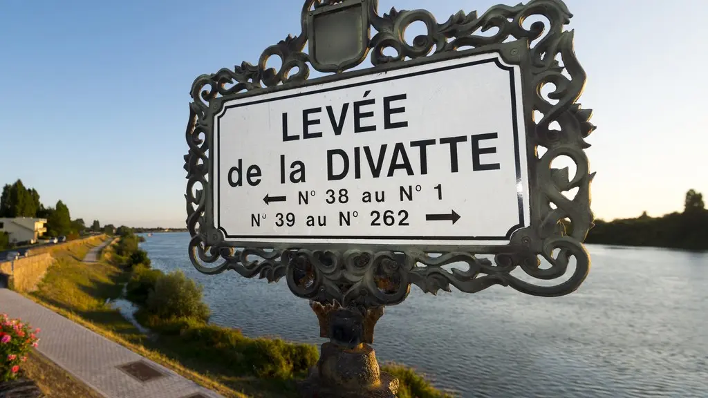
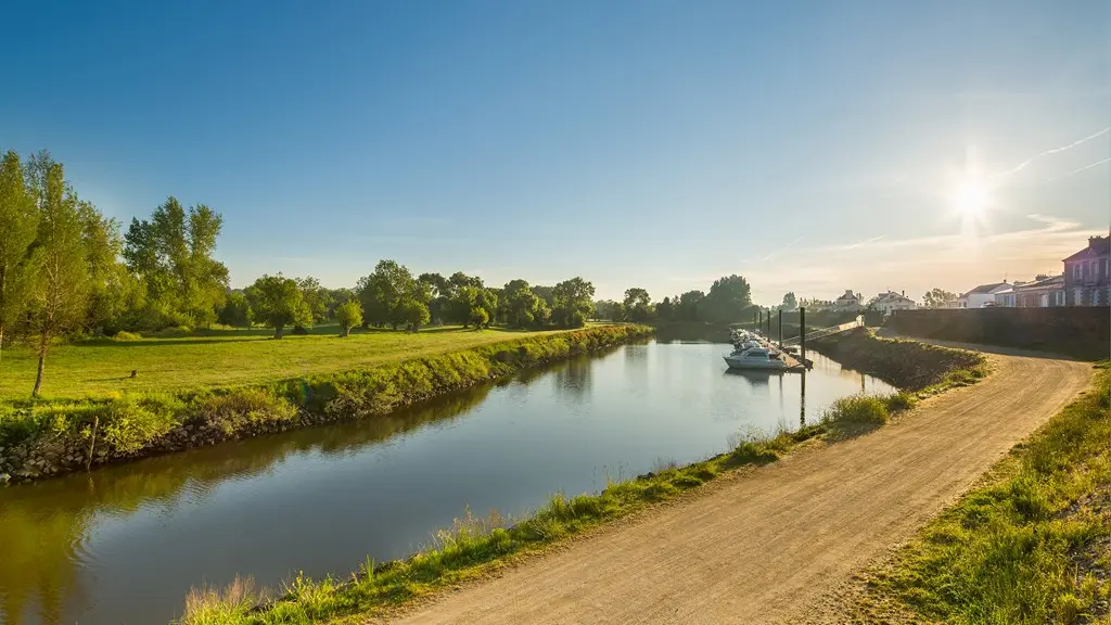
A levee is a 16km-long dyke on the Loire between Basse Goulaine and Divatte sur Loire, built to protect crops and homes from the river's devastating floods.
The Divatte levee is the last of the Loire levees, built between 1847 and 1856 from Saint Sébastien to La Chapelle Basse Mer over a distance of almost 16 km to contain the land from the river's devastating floods and allow crops to develop.
|
It is named after the little river "La Divatte" on the border between the departments of Loire-Atlantique and Maine-et-Loire, the historic border between Brittany and Anjou.
It is made up of 600,000 m3 of sand, earth and stone taken from the banks of the Loire. It measures 14 m at the base and 8 m at the top, with an average height of 3 m.
Individual and group tours available from the Tourist Office: 02 40 54 02 95 from the villages of La Chebuette in St Julien de Concelles and La Pierre Percée in Divatte-sur-Loire.
Services offered
Quality standards
Quality standards
 Pays d'Art et d'Histoire
Openings
Openings
All year 2026